Henry Mountains
Brian Head Peak
A summit above Cedar Breaks with a 1930s Civilian Conservation Corps shelter.
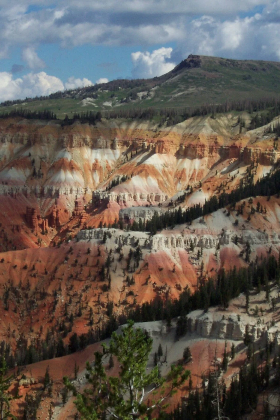
File photograph, National Park Service archive. Source EXIF date: 2003-08-03. Photo: National Park Service · Public domain · National Park Service
Brian Head Peak rises on the Markagunt Plateau in Iron County, near the town and ski area of the same name. The Utah Geological Survey gives 11,307 feet.
Volcanic rock from calderas near the Nevada line caps the peak, above the colorful Claron Formation. The National Park Service documents Civilian Conservation Corps work in 1935 on the road to the summit, shelters and footpaths. The National Park Service records that Civilian Conservation Corps crews built the summit road, lookout shelters and foot trails there in 1935. The peak is in Dixie National Forest; the summit road's status depends on snow and Forest Service management.
Also in Southern Utah
Tushar Mountains