Mountain canyon
Little Cottonwood Canyon
A deep, glacier-shaped granite canyon with Snowbird and Alta at the top, Albion Basin above them and a protected watershed throughout.
Plan your visit: access, parking and practical details
Check the operator’s current fees, reservations, parking, transit, restrooms and accessibility arrangements before leaving. Confirm specific mobility or sensory needs directly with the venue.
Official visitor information ↗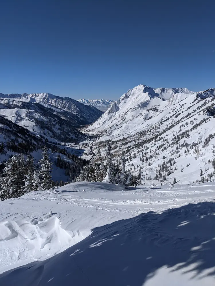
File photo, December 17, 2019. Photo: Derrellwilliams · CC BY-SA 4.0 · Wikimedia Commons
Little Cottonwood Canyon runs east from the valley on SR-210 to Snowbird and Alta. Above Alta, Albion Basin holds the Cecret Lake trail and summer wildflower meadows.
Its glacier was the larger of the two Cottonwood glaciers. The Utah Geological Survey says it reached beyond the canyon mouth into Lake Bonneville, calving icebergs into the Ice Age lake. That ice left the canyon’s U-shaped profile, hanging side valleys, and horns such as the Pfeifferhorn, carved by glaciers in Maybird Gulch and Hogum Fork. Striations are easy to find around Cecret Lake.
Like Big Cottonwood, the canyon is protected drinking-water watershed. Dogs are prohibited, except service, search and rescue and law enforcement dogs; Alta issues its own tags to town residents, and dogs licensed there must stay within town limits.
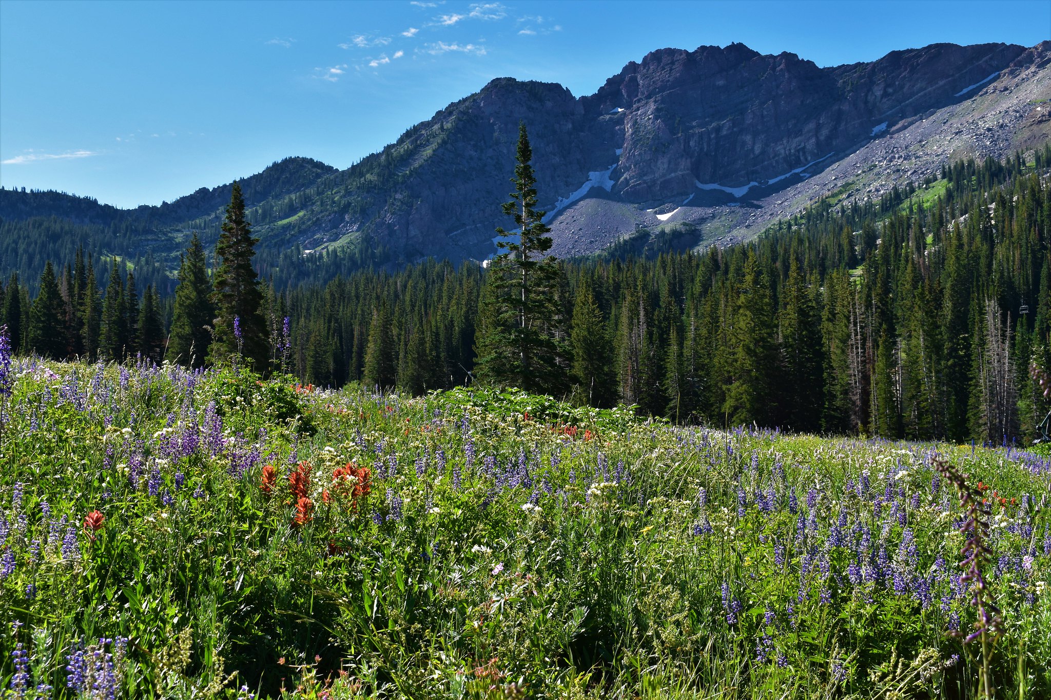
Albion Basin, Little Cottonwood Canyon, Utah. File photograph, 2017-07-29. Photo: Bekee Hotze · Public Domain Mark 1.0 · U.S. Forest Service / Flickr